Luxury Resort and Vacation Rentals in Tahoe, California
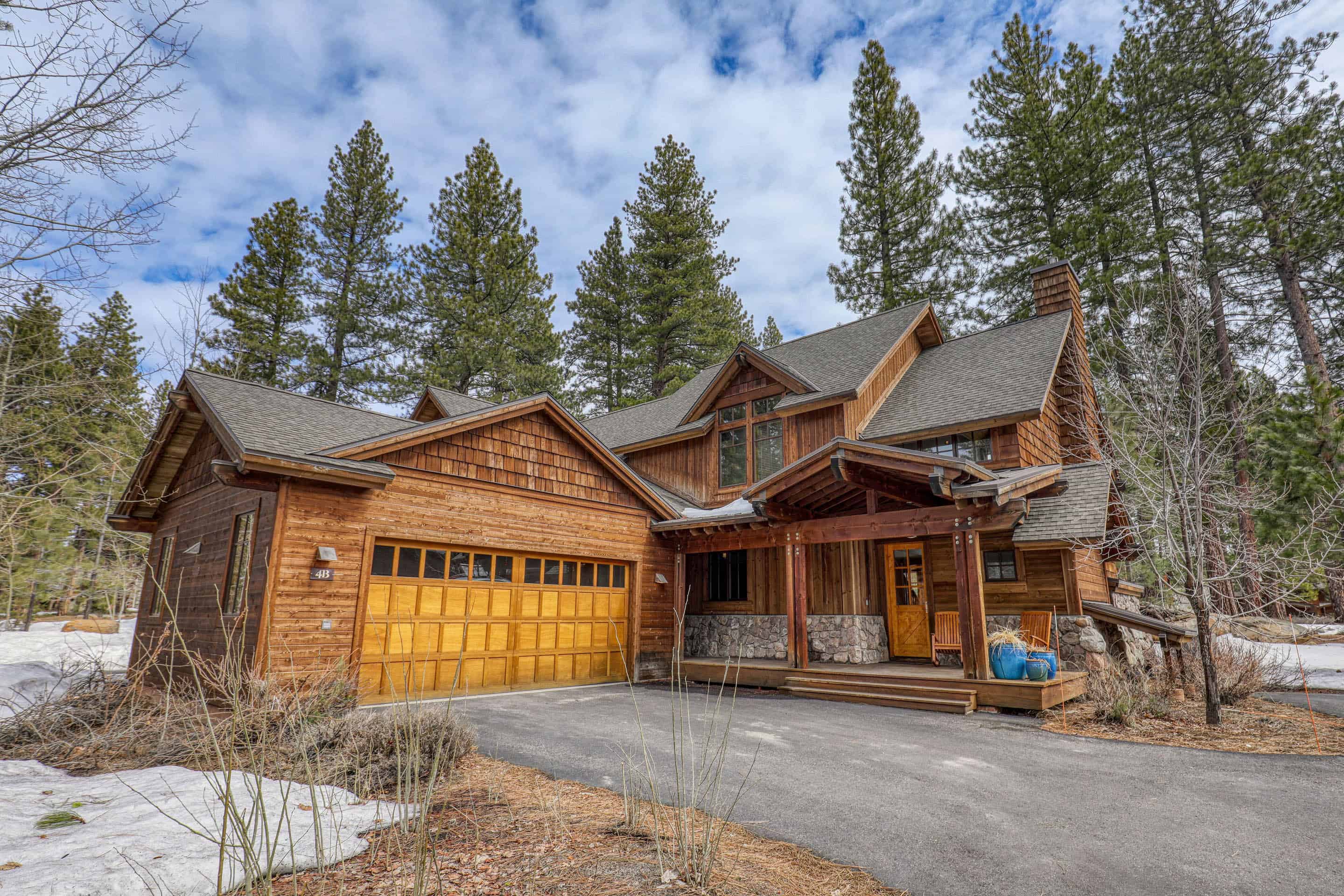
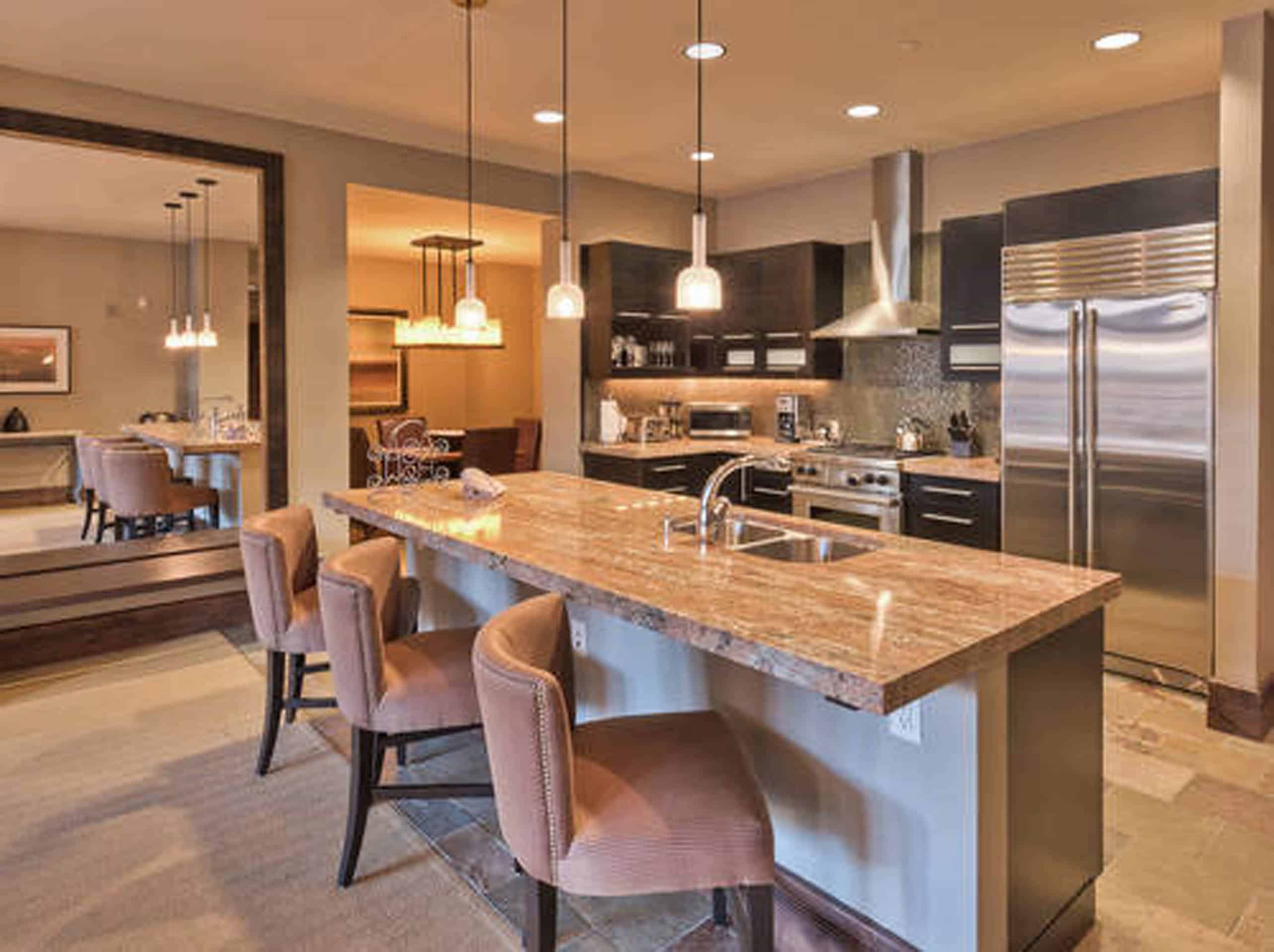
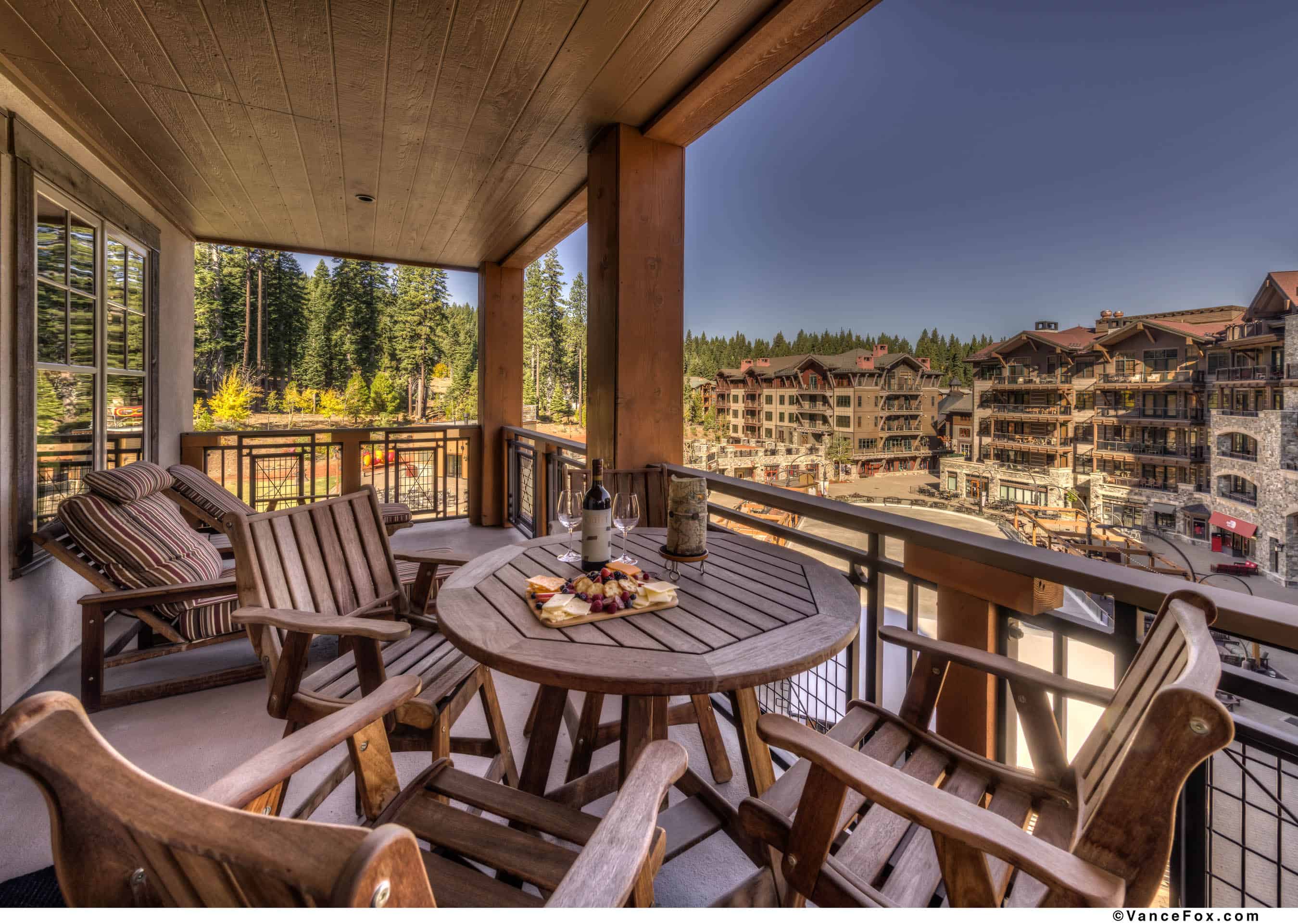
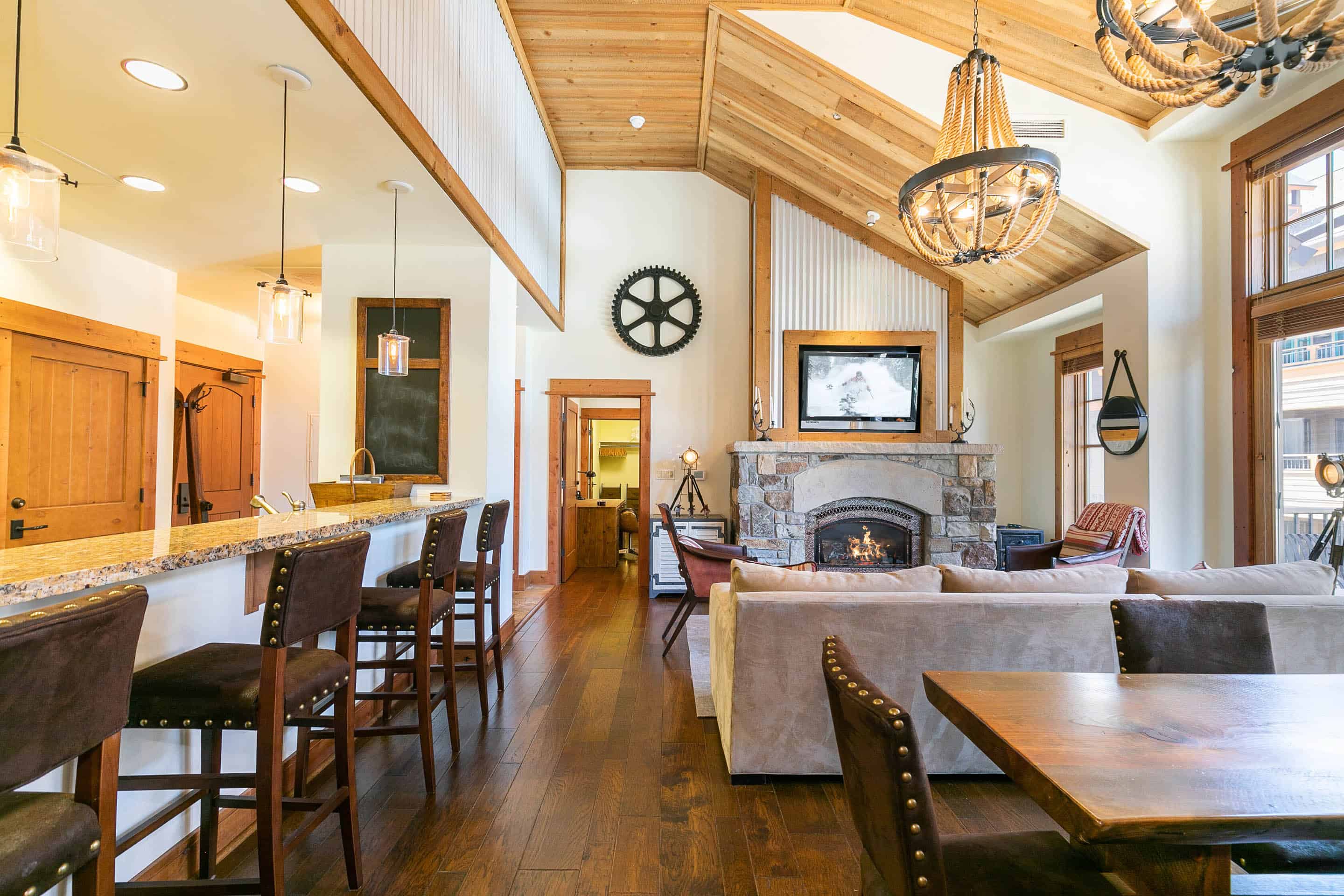
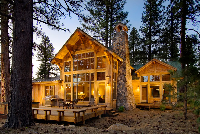
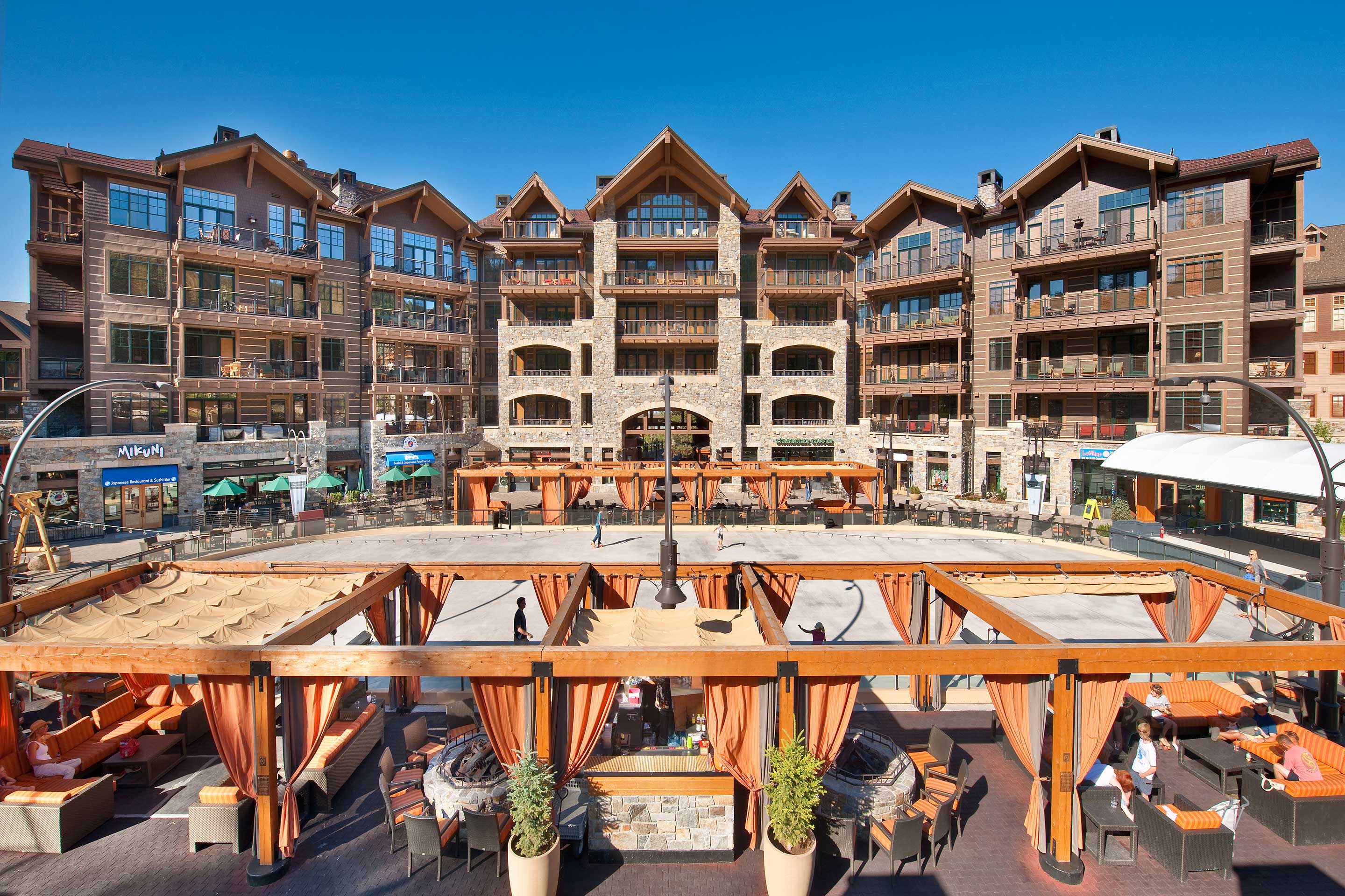
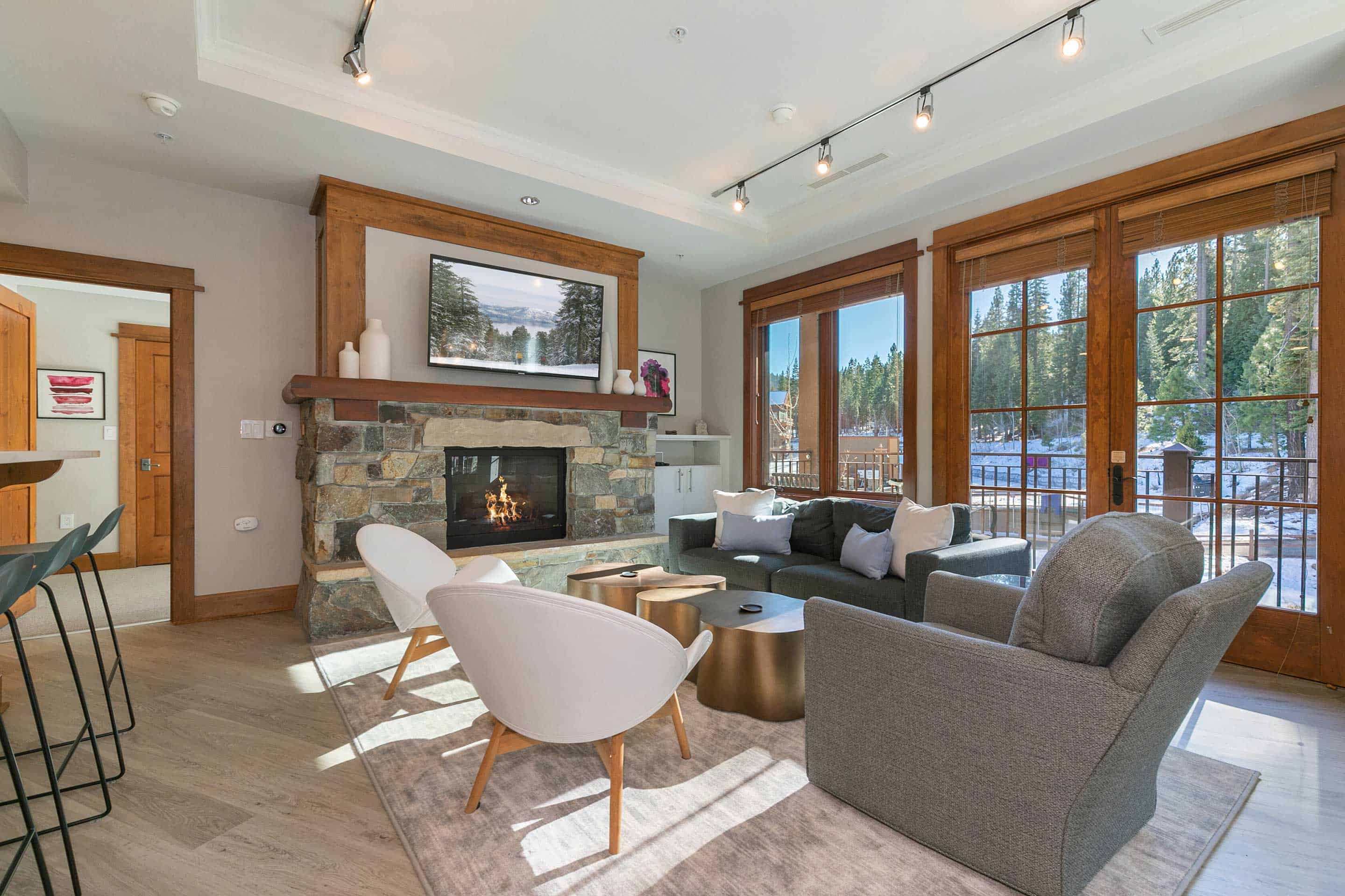
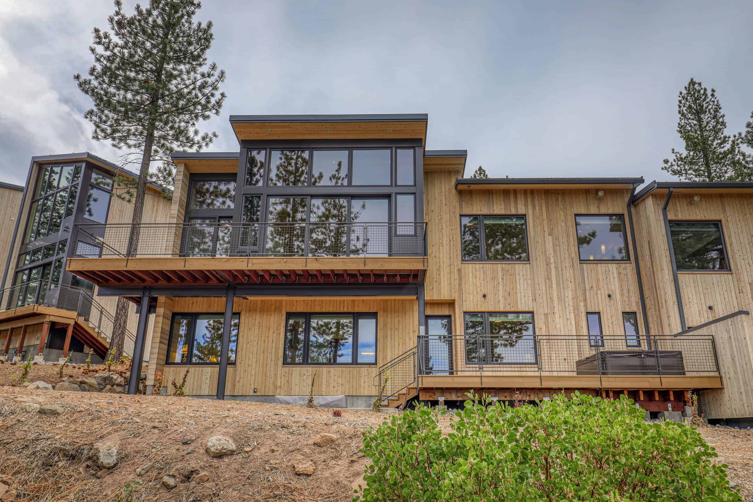
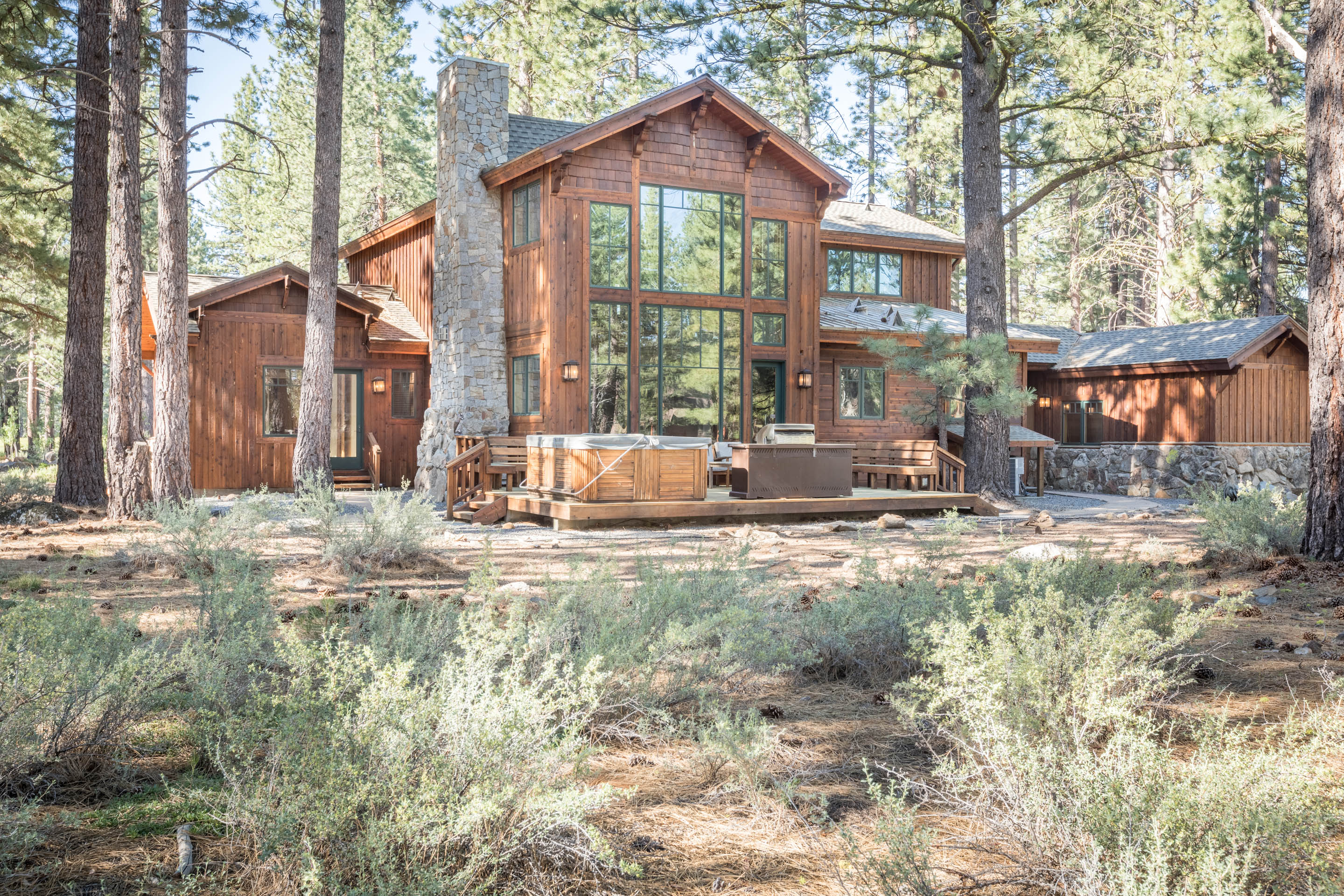
From comfortable to luxurious, East West Hospitality Tahoe offers private homes, cabins, villas, and condominiums with your choice of style, size, amenities, and location. Whether you want to stay in the bustling Village at Northstar, tucked away in the golf course community of Old Greenwood, or among the towering pines off Northstar Drive, these thoughtfully appointed vacation residences provide all the comforts of home. Enjoy family rooms, kitchens, beautiful views, garage parking, and indoor-outdoor living.
Benefits of booking with us
Our Experienced Team
With over 35 years of experience, entrust your valuable time with experts in Lake Tahoe's vacation rental industry.
Local Experts
Our employees live and love the communities we call home. Entrust our team to answer vacation planning questions before and during your stay.
Genuine Care
No matter the season, we genuinely care about your stay and want you to create memorable moments in Lake Tahoe for years to come.
Featured Tahoe Properties
Specials

Book Early and Save
Save 15% on 7+ night stays between May 1, 2024 - April 20, 2025
Call 800.747.3821 for reservations or book online using online promo code EBO2024
Considering renting your property?
We deliver optimal revenue while serving as your trusted, transparent, local partner. Learn about the benefits of joining the East West Hospitality family of homeowners.